Banff provides beauty in abundance, however, the simultaneous problems that occur along with it are logistic in nature. The park pulls in millions of visitors a year for turquoise lakes and glacier-capped peaks. Unfortunately though, an unplanned crowd reaches Moraine Lake only to find the road has been closed to private cars since 2023, or point the rental onto the Icefields Parkway and watch their signal bars die for 232 kilometers.
This Banff National Park guide is built around those friction points: three zones that make an itinerary make sense, what passes and parking really cost, the current Moraine Lake access rules, the Johnston Canyon closure, wildlife and winter-driving rules, and an honest map of where your phone works. Read the passes, access, and connectivity sections before you book anything. Most guides skim them, and they're the difference between a smooth trip and a scramble.
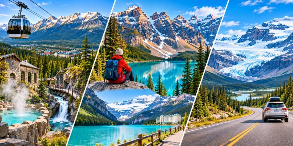
Banff by Zone: Three Trips Inside One Park
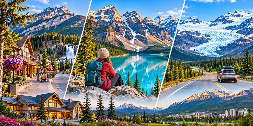
Banff covers roughly 6,600 square kilometers (more than 2,500 square miles) and spans three ecoregions: montane valley floors, subalpine forest, and alpine tundra. That's why the townsite can feel mild while a trail a few hundred meters higher is dusted with snow. For planning, it breaks into three zones:
The Banff townsite and Bow Valley: The hub for escapes such as restaurants, hotels, the gondola, the hot springs, and the park's lower-elevation sights, all at 4,537 feet (1,383 meters), which makes Banff the highest incorporated town in Canada.
Lake Louise and Moraine Lake: These views available at about 45 minutes northwest of town, and home to the two lakes that fill most Instagram feeds.
The Icefields Parkway: A 232-kilometer road running north from Lake Louise to Jasper, lined with glaciers and viewpoints and almost nothing else.
Before You Go: Entry Rules, the Banff Park Pass, and Real Costs
Passports and entry: US citizens need only a valid passport to fly into Canada. Visa-exempt travelers from places like the UK, the EU, Australia, and Japan need an eTA (about CAD 7) when arriving by air. Visitors can apply only through the official canada.ca site for getting the pass.
The Parks Canada pass: Every visitor needs one to enter the premises. In 2026, a daily adult pass was about CAD 12.25, with youth 17 and under free and a family/group rate per vehicle. The annual Discovery Pass (about CAD 83.50) pays off after roughly seven days and also covers Jasper, Yoho, and other Parks Canada sites.
Free-admission windows: In 2026, Parks Canada waived admission from June 19 to September 7. That was a limited-time promotion, so check before assuming it repeats.
What the pass doesn't cover: Shuttle tickets, parking, the gondola, and the hot springs are all separate bookings handled standalone.
The big-ticket item: The Banff Gondola runs roughly CAD 75 to 90 per adult. The budget alternative is hiking up Sulphur Mountain (1.5 to 2 hours) and riding down.
Fees reset every January, so confirm current rates on Parks Canada's website.
Getting There and Getting Around: The Parking Math
Fly into Calgary (YYC): Banff sits about 80 miles (130 km) west on the Trans-Canada Highway, roughly 90 minutes without traffic. Lake Louise is closer to two hours, plan your trip according to the distance and the closure of the park’s premises.
Shuttles and buses: Airport shuttles run to Banff, and Roam Transit connects Banff, Lake Louise, and Canmore. Route 8X to Lake Louise ran about CAD 12.50 each way in 2026.
Parking in Banff: The free lot at the Banff Train Station is a short walk from downtown and pairs well with Roam.
Parking at Lake Louise: In 2026, lakeshore parking cost CAD 42 per vehicle per day in peak season, and the lot often fills early. The free Park & Ride lot near Lake Louise Ski Resort, paired with a shuttle, is the smarter play.
A rental car: Worth it for the Icefields Parkway and for chasing sunrise on your own schedule.
The Moraine Lake Gate: How Access Works Now
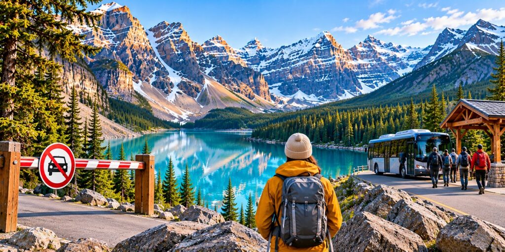
The lake's name is historically misinterpreted, but simultaneously immortalizes its archaic value. Early surveyors took the Rockpile at its head for a glacial moraine, when it's actually a rockslide, and the electric turquoise comes from rock flour, glacier-ground silt suspended in the water. It was once printed on the back of the Canadian twenty-dollar bill, and it's the one stop where outdated advice can ruin a day. Since 2023, Parks Canada has closed Moraine Lake Road to private vehicles, and there's no public parking at the lake. Here's what works instead:
Parks Canada shuttle: Reservable, running from the free Park & Ride lot near Lake Louise Ski Resort. Recent fares have been around CAD 12.75 for adults, with park entry paid separately.
Roam Transit Super Pass: The car-free route from Banff, bus to Lake Louise and a connecting shuttle on to Moraine. Recently about CAD 30 per adult.
Guided tours and private shuttles: Pricier, sometimes close to CAD 100 per person, but they can include sunrise departures and a guaranteed seat.
Cycling or lodge stays: Cycling is allowed for strong riders, and registered Moraine Lake Lodge guests get road access.
The shuttle season generally runs from early June to mid-October, weather permitting. Outside it, the road is closed to all vehicles. Tickets are the real bottleneck. In recent seasons, Parks Canada has released a first block in spring (April 15 in 2026) and held the rest back for a rolling release at 8 a.m. Mountain Time, 48 hours before the travel date. Missing the spring launch isn't fatal, but you do need to be online at the right minute. Always check Parks Canada for current dates and fares, since both change.
Where the Bars Die: Cell Coverage in Banff
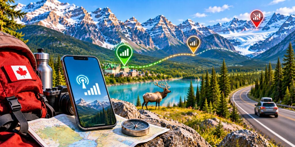
Due to the shuttle tickets being available on a clock, working data matters here more than usual, and Banff is an awkward place to rely on it. Coverage is fine in town and patchy almost everywhere else:
Banff townsite, Lake Louise village, and Canmore: This area thankfully remains reliable on the major networks..
Most trails and the Bow Valley Parkway: Spotty to nonexistent network connectivity here makes it safe to assume that you're offline once you leave the trailhead.
The Icefields Parkway: Parks Canada says there is no year-round cell coverage, with limited service at the Columbia Icefield from May to early October. In winter there are no gas stations, hotels, or cell signals across the 232 kilometers between Lake Louise and Jasper.
No SIM, carrier, or plan can conjure a tower where none exists, so the smart routine is to use your data in town, then go dark on purpose. Before you leave a signal zone:
Book your shuttle or Roam seats, and screenshot the confirmations.
Download offline maps for Banff, Lake Louise, and the Icefields Parkway. GPS works without a signal.
Check Parks Canada's trail conditions and bulletins, and Alberta 511 for winter road updates.
Tell someone your hiking plan.
Setting up an eSIM Canadaplan before your flight means data is live the moment you land in Calgary, rather than gambling on Canada's notoriously high roaming rates. One caveat from the Rockies: coverage depends partly on which networks your plan can roam on, and travelers often report weaker signal in Banff and Jasper on some than others, so check the carrier list before you buy.
Things to Do in Banff National Park, Zone by Zone
Banff Townsite and the Bow Valley
Banff Gondola: Rides up Sulphur Mountain year-round, best from May to October, with a boardwalk to the Cosmic Ray Station.
Tunnel Mountain, Vermilion Lakes, and Lake Minnewanka: An easy summit hike, a sunrise spot with Mount Rundle behind you, and one of the Rockies' largest lakes, with scenic cruises.
Cave and Basin and the Upper Hot Springs: History first, then a soak. Cave and Basin is the birthplace of Canada's national parks.
Johnston Canyon: Banff's most popular walk, with catwalks and waterfalls about 25 km from town. Parks Canada closed it on October 13, 2026 for rock-slope work, with the first phase running to roughly November 30 and the Roam Route 9 bus paused. Check the trail-conditions page. Marble Canyon, Silverton Falls, and Sundance Canyon are the usual alternatives, and the Ink Pots are reachable from the Moose Meadows trailhead.
Lake Louise and Moraine Lake
Lake Louise lakeshore: The classic view, best early, with the hike up to Lake Agnes Teahouse as the reward.
Moraine Lake: The Valley of the Ten Peaks, reached only by the options above.
Bow Valley Parkway: A slower alternative to the highway and a wildlife corridor, so it carries rules. From March 1 to June 25, the eastern stretch is closed to all travel from 8 p.m. to 8 a.m. The eastern 17 km also goes car-free for cycling each spring and fall (April 30 to June 25 and September 1 to October 6 in 2026), though you can still reach Johnston Canyon by car via Castle Junction.
The Icefields Parkway
Bow Lake, Peyto Lake, and the Columbia Icefield: Vividly turquoise lakes, then the Athabasca Glacier near the Banff–Jasper boundary, among the most accessible in the world.
Fuel up first: The only gas station along the route is at Saskatchewan River Crossing, and it's summer-only.
Hikes and Wildlife Rules Worth Knowing
Easy: Consolation Lakes (2.9 km one way) and Parker Ridge (2.7 km one way).
Moderate: Cascade Amphitheater (7.7 km one way) and Larch Valley (4.3 km one way). Larches are deciduous conifers, so the subalpine stands turn gold in late September before dropping their needles, and became a pristine experience for any traveller.
Difficult: Cory Pass Loop (13 km) and Sunset Pass (8.2 km one way). The distance doesn't make the task seem difficult, however it is the terrain that makes traversal here herculean.
Consolation Lakes and Larch Valley both start at Moraine Lake, so the shuttle plan comes first. Then the wildlife rules, which Parks Canada takes seriously:
Distance: Stay at least 100 meters from bears, wolves, cougars, and coyotes, and 30 meters from elk, deer, sheep, and moose. Bull elk turn aggressive during the fall rut in September and October.
Bear spray: Carry it where you can reach it quickly and know how to use it. You can rent it in Banff.
In your car: Stay inside when watching wildlife from the road, and never feed animals.
When to Go: Season by Season
Summer (June–September): The full menu, with long days, shuttles running, and lakes at their brightest. Also the biggest crowds, so book early.
Fall (September–October): Golden larches and thinner crowds, though the Moraine Lake shuttle season wraps up around mid-October.
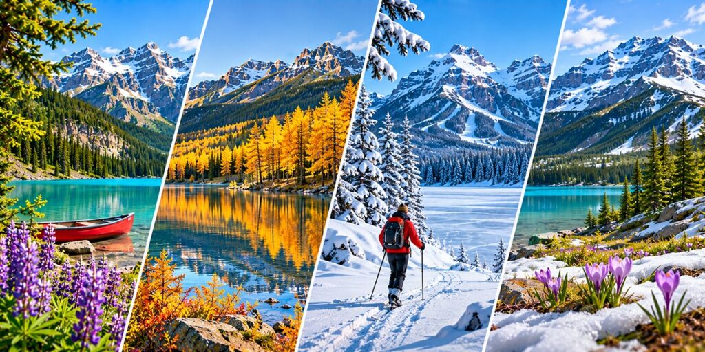
Winter (December–March): Three ski resorts and a frozen Lake Louise, which typically stays frozen from November to mid-April. On the Icefields Parkway, snow tires (snowflake or M+S symbol) or chains are mandatory from November 1 to March 31, or any time snow covers the road. The three-peak mountain snowflake rating is the stronger spec, and rental cars don't always come with winter tires, so ask.
Spring (April–May): Locals point to April and the last two weeks of October as the quietest stretches. The trade-off is access: some trails are still snowbound and Moraine Lake is out of reach.
A Simple Three-Day Plan, and Where to Base Yourself
Day 1, Banff townsite: Bow Falls, Tunnel Mountain, the hot springs, and an evening on Banff Avenue.
Day 2, Lake Louise and Moraine Lake: Visit Moraine lake early by shuttle, then the lakeshore and Lake Agnes Teahouse.
Day 3, Icefields Parkway: Start the day with the sceneries at Bow Lake and Peyto Lake, as far north as the Columbia Icefield, however ensure that your maps are downloaded first.
Within one or two days, pick a single zone and do it well. For a base, the Banff townsite is the easiest first-visit choice, Lake Louise village is closest to the lakes and the shuttle lot, and Canmore, about 25 kilometers outside the park, usually has lower rates. Book lodging and shuttle seats early in summer.
Get Connected Before You Land: Why an Airhub eSIM Fits a Banff Trip
A Banff trip runs on a handful of moments where data really matters: grabbing a shuttle seat at 8 a.m. Mountain Time, checking closures like Johnston Canyon before you drive out, and saving offline maps before you head into the Icefields Parkway's dead zone.
An Airhub eSIM covers those moments without the usual hassle. You install the eSIM profile before you leave home, scanning a QR code or following the in-app steps, and it's ready the minute you land in Calgary, so there's no airport kiosk, no tiny SIM tray, and no surprise roaming bill waiting back home.
Your regular number can stay active on your main SIM through dual-SIM support while the eSIM handles data, and if your route crosses the border to Glacier National Park or on to Seattle, an eSIM North Americaplan covers both countries on a single setup. No eSIM can create a signal where there are no towers, but with data active in town, you'll arrive at every dead zone with your maps downloaded and your bookings confirmed. Buy your Airhub eSIM before you fly and head into the Rockies prepared.
Enough Preparation for a Banff Park Recreation
A good Banff National Park guide should leave you with fewer surprises, not just a longer list of viewpoints. Banff rewards the people who sort out the unglamorous parts early: a Parks Canada pass, a shuttle seat for Moraine Lake, offline maps for the Icefields Parkway, and a realistic idea of which zone gets which day. Do that, and the lakes, the peaks, and the long quiet drives mostly take care of themselves. Pick your season, lock in your access, and let the mountains do the rest.
FAQs
1. Can I still drive to Moraine Lake?
No. Private vehicles have been banned from Moraine Lake Road since 2023. You'll need a Parks Canada shuttle, a Roam Transit connection, a commercial tour, or a bicycle, with the exception of registered Moraine Lake Lodge guests. Reserve ahead, since seats sell out.
2. Will my phone work on the Icefields Parkway?
Almost certainly not. Parks Canada notes there's no year-round cell coverage along the route, with limited service at the Columbia Icefield from May to early October. Download offline maps before you leave Lake Louise or Jasper.
3. When is Banff quietest, and what's the catch?
Locals point to April and the last two weeks of October. The catch is access: Moraine Lake Road is closed outside the summer shuttle season and some trails are still snowbound, so you're trading crowds for a shorter list of options.